The Nine Mile Creek Aqueduct Restoration Project
at Camillus Erie Canal Park
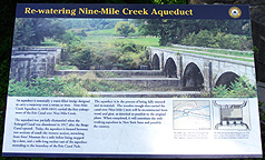
The Nine Mile Creek Aqueduct was constructed in 1838-1841 to replace a Clinton's Ditch
aqueduct, the remains of which are just downstream. Put into service in the spring of 1845, the
aqueduct is 144 feet long. Four stone arches made of Onondaga limestone quarried from Split
Rock support the towpath.
The aqueduct stonework survived to the present day in very good condition, maintained and preserved by the efforts of a dedicated crew of volunteers. Because of the good condition of the remains, it was proposed that the aqueduct be restored to operating condition. After considerable advance work and the receipt of a grant to fund the project, the restoration project was begun. Now that work is 98% complete, it is the only restored navigable aqueduct in New York State. Work should be completed in November, when the final four cap timbers are to be placed on the eastern twist walls. A formal dedication will be held in the spring of 2010.
Below are some pictures of the restoration work being done by Vector Construction Company -- click on each picture to see a larger version. For further information on the Nine Mile Creek Aqueduct and the aqueduct restoration, see the Park's
Aqueduct page.
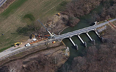
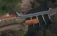
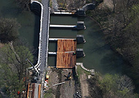
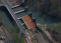
Aerial photographs taken in April 2009:
These photographs of the Nine Mile Creek Aqueduct reconstruction are aerial shots taken in April 2009 by photographer Bob Reece, and are used courtesy of the American Institute of Timber Construction.
Right: Taken just before they began installing the stringers on the aqueduct, this photo shows Una-Lam's glulam timbers being unloaded on the site.
Below: The first Una-Lam glulam stringers have been installed. After the stringers have been installed, glulam decking will cover the stringers. |
|
| |
|
|
|
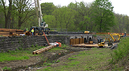
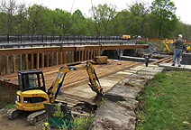
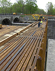
Pictures taken on May 5th, 2009 (all looking east or northeast):
 |
|

|
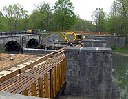
| Overview of the Aqueduct restoration site. |
One of the bottom timbers being swung into place. |
Almost down. |
|
 |
|
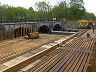
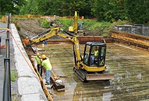
Bottom timber in its temporary location.
The far end rests on rollers, and is towed
into place by the power shovel. |
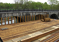
View of the trunk supports. |
Overview of the trunk construction. |
| |
 |
|
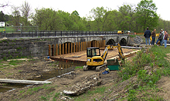 |
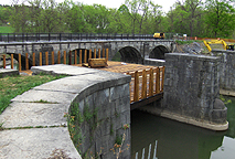
View of the north side trunk supports
in front of the towpath arches. |
South side of the trunk supports. |
Another view of the restoration site. |
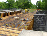
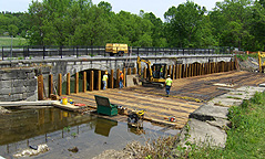
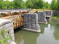
Pictures taken on May 22nd, 2009 (all looking east or northeast):
 |
 |
|
Overviews of the Aqueduct restoration site.
The main support beams have all been placed and the decking is being installed. |
Outside view, showing the supporting stonework. |
| |
 |
 |
 |
| Detail view of the decking. |
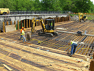
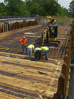
Installation of the decking. In the left picture, the small
power shovel pushes the board being installed in order to seat its tongue into the
groove of the already installed board. In the right picture, the workman on the left
drills a hole for a lag screw, the next man puts the screw into the hole, and the
man on the right screws it in. Each piece of decking is caulked prior to placement,
and held to the carrying beams by 40 gasketed lag screws. |
Pictures taken on June 10th, 2009 (all looking east or northeast):
 |
 |
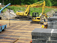 |
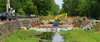
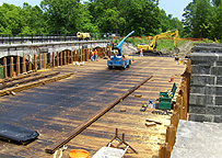
| Overview of the Aqueduct restoration site on June 10th. |
Almost all the decking has been placed. |
Closeup of the eastern end. |
 |
 |
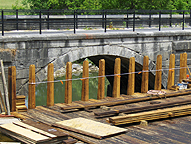 |
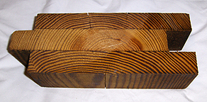
| A piece of the laminated decking (floor) of the aqueduct trunk,
3 3/4 inches thick, and 9 inches wide with a 1 1/4 inch tongue. Each full piece
of decking is about 54 feet long and weighs 800 pounds. |
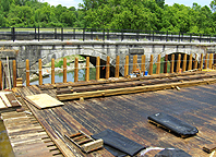
The north side posts are ready
for the wood sides. |
Closeup of the north side posts. |
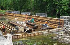
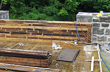
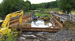
Pictures taken on June 30th, 2009 -- Installation of the side beams:
 |
|
 |
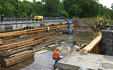
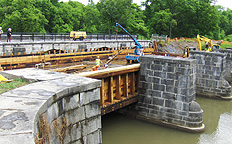
| View of the nearly completed south wall, looking southeast. |
Detail of the side beams at the southwest corner, looking southeast. |
Overview of the site, looking west. |
| |
|
 |
|
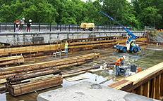
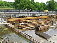
| Applying adhesive caulk in preparation for placing another side beam
(looking northeast). |
Lifting another side beam (looking northeast). |
Side beam being swung into place (looking northeast). |
| |
 |
 |
|
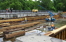
| Side beam being fitted into place (looking northeast). |
Seating the side beam (looking east). |
Western end of the north wall (looking north). |
Pictures taken on July 8th, 2009:
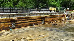 |
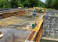
< Note the drain valves in the picture to the left. The 2
valves are installed at different levels. In winter, the canal can be drained down
with the higher valve leaving a foot of water (which will extend the life span of
the wooden trunk, since wood under water won't rot). The other valve is lower and
will drain all but a couple inches of water when maintenance is necessary. |
|
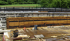
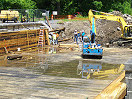
| The completed north wall, looking northeast. |
Closeup of the western end of the north wall, looking north. |
| |
 |
 |
|
Working on the eastern end --
Overview, looking east. |
Working on the eastern end's northern twist wall. |
|
Pictures taken on July 21st, 2009:
 |
 |
 |
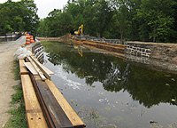
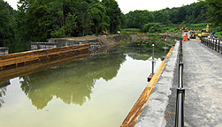
| Overview, looking east. The aqueduct has about 3 feet of water, and
the removal of the eastern end earthen dam has begun. |
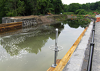
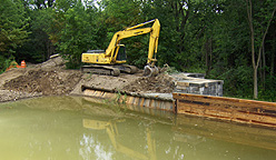
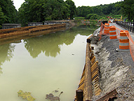
Looking west - One of the drain valves in the north wall can be seen
in the foreground. |
Looking southeast - The eastern end's southern twist wall can be seen
in front of the power shovel. |
| |
 |
 |
|
Looking west - The eastern end's
northern twist wall can be seen in the foreground. |
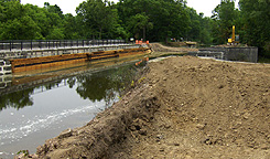
Looking west. |
Overview, looking northeast. |
| |
|
 |
|
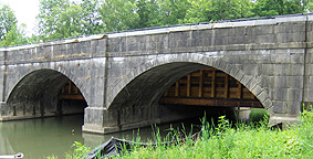
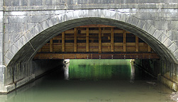
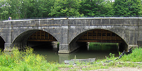
| The towpath arches from the north side.
The aqueduct trunk can be seen between and behind the arches, particularly in the
middle picture. There is a little water leakage on the far (south) side. |
Pictures taken on August 14th, 2009:
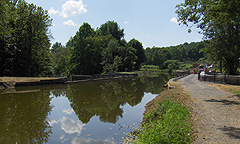
The construction work on the aqueduct is 98% completed, with only the final four cap timbers to be placed on the eastern twist walls and landscaping work to be done.
 |
 |
|
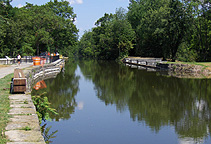
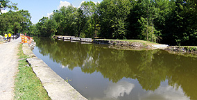
The nearly completed aqueduct, full of water.
Left: looking west ; Right: looking east.
Looking east, just beyond the aqueduct wall, the new boat landing can be seen
on the towpath side. |
|
| |
 |
 |
|
| Overview of the aqueduct, looking east. The new waste weir
(overflow channel) can be seen on the right. |
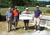
The Camillus Erie Canal Park Board at the aqueduct. From
left to right:
Dick Hamann, David Beebe, Joan Hanchett, and Fenton Hanchett. |
|
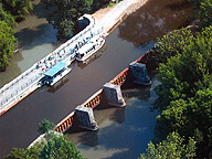
Aerial photograph taken Saturday, August 15, 2009:
The photograph of the Nine Mile Creek Aqueduct to the right (taken at 10:32 a.m., August 15th, 2009 by Bob Reece; photo courtesy of Richard Palmer) shows the first boats to cross the restored aqueduct since approximately 1923. The Park's Ontario and Camillus-Erie are docked on the aqueduct for the photo, after which the Camillus-Erie continued eastward to the end of the navigable canal at Route 173 (Warners Road).
|
|
Pictures taken on September 20th, 2009:
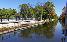
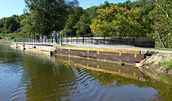
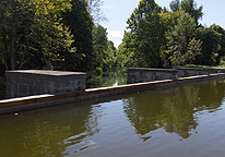
The Park's boats now cross the restored aqueduct on their weekly Historic Canal Boat Rides. These pictures were taken from the Camillus-Erie.
 |
 |
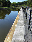 |
| The aqueduct's north wall -- Left: looking
northeast ; Center: looking northwest ; Right: looking west. |
| |
 |
 |
|
| The aqueduct's south wall, looking southwest. |
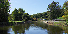
Looking west at the restored Nine Mile Creek aqueduct. |
|
Pictures taken on October 17th, 2009:
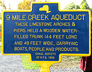
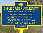
The aqueduct historical marker was presented to Camillus Erie Canal Park by the Canal Society of New York State in 1999 but was not erected at that time, instead being put on display in the Park's Sims Store Museum. After the aqueduct restoration was completed, the marker was erected near the aqueduct and was re-dedicated on October 17, 2009 during the Canal Society's Fall Field Trip.
 |
 |
 |
| The historical marker -- Left: East side ;
Right: West side. |
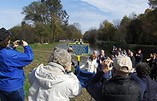
Re-dedication of the Nine Mile Creek Aqueduct historical marker --
October 17th, 2009. |


