
Home | Canal System | Historical Documents | 175th Anniversary | Images | Maps | Tour | Traces | Locks | Boats | Books and Videos | Music | Links


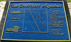
"West of Weedsport are the structural remains of the Centreport Aqueduct. The towpath bridge over this aqueduct was reconstructed to be nearly identical to the one built here in 1854-55. The towpath bridge, then used by mules and horses to pull boats filled with cargo or passengers along the Erie Canal, is today used by bicyclists, walkers and others to cross the confluence of the Cold Spring Brook and North Brook. North Brook was a feeder for the original 1825 Clinton's Ditch Erie Canal.
The trough of the Centreport Aqueduct was sixty feet long by fifty wide, and the flooring was built of huge oak beams, sixteen inches square. Atop this lay bottom planking of four inch thick pine. The entire wooden structure was cradled below the elevated towpath ... by masonry that supported the enormous weight of both trough and water." (From a sign at the site)
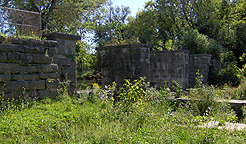
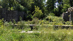
A "Table of Aqueducts" in "History of the Canal System of the State of New York" by Noble E. Whitford (1906) indicates that the aqueduct was 75 feet 6 inches long with three spans. Today, the aqueduct is the centerpiece of small park at the side of NY Route 31. Below are pictures of the Centreport Aqueduct taken in early September 2007 -- click on an image below to see the full-size version.
 |
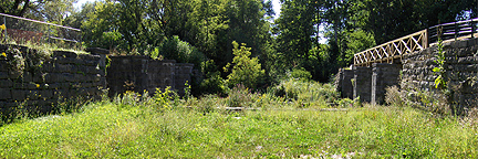 | |
| Sign at the Centreport Aqueduct park. | The Centreport Aqueduct, from within the old Erie Canal prism, looking west. | |
 |
 |
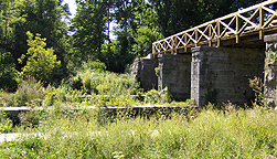 |
| The Centreport Aqueduct, from within the prism. Left: south side, looking southwest ; Center: looking west ; Right: north side, looking northwest. | ||
http://www.eriecanal.org/CentreportAqueduct.html